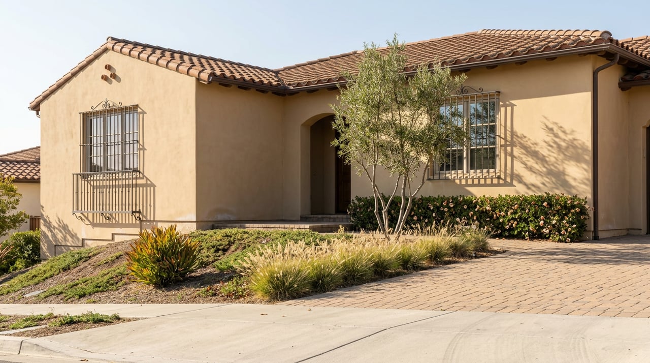
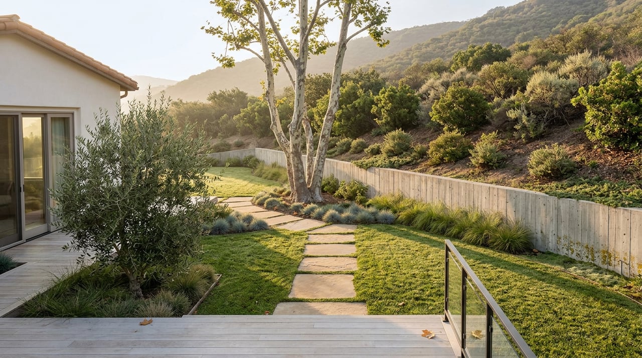
For four years, anyone driving Discovery Street past Bent Avenue watched the same scene: chain-link fencing, idle cranes, a berm of dirt where the creek used to be visible from the road. Then in October 2024, the City of San Marcos held a ribbon-cutting and the fencing came down. Behind it sat a new park, a new loop trail, and a stretch of restored creek that residents had been promised since the Creek Specific Plan was first adopted back in 2007.
Here's the detail most people driving by that day missed: there is no parking lot. There never will be one. The city built it that way on purpose.
What the Ribbon-Cutting Actually Opened
The San Marcos Creek Project ran roughly $100 million and took about four and a half years to build, starting construction in March 2020 and wrapping in October 2024. What it delivered was more than a single park. Two new bridges now carry Bent Avenue and Via Vera Cruz over the creek. Discovery Street was widened from two lanes to four, with an extension out to Twin Oaks Valley Road. Crews restored 1.5 miles of creek habitat and planted more than 105,000 new trees and plants along the corridor, paired with storm drains built to treat runoff before it reaches the creek.
The centerpiece for anyone who walks rather than drives is the 1.2-mile loop trail, with access points at Bent Avenue, Discovery Street, and Via Vera Cruz. Wrapped around part of that loop is Paseo del Arroyo Park, the city's 16th neighborhood park and the first tangible piece of public space to come out of nearly two decades of Creek District planning.
At the ribbon-cutting, Mayor Rebecca Jones put it plainly:
"Completion of the San Marcos Creek project is a major milestone for the City, as the project brings new life to the community and the Creek area."
The project got there without a new tax measure. The city pieced together funding from 13 different state and federal agencies rather than asking residents to cover it through a bond or assessment, which is worth knowing if you've ever wondered how a $100 million infrastructure project shows up without a corresponding line item on your property tax bill.
Why There's No Lot
The absence of parking at Paseo del Arroyo isn't an oversight. City planning documents are explicit about it: the three-acre park, tucked between Discovery Street and the creek near the Discovery Hills neighborhood, was designed for people to walk or bike to. The trail surface is decomposed granite rather than pavement. Dogs are welcome on leash. There's a small playground, picnic tables, and shaded seating, but nowhere to leave your car.
That decision didn't go unnoticed. A resident-led petition circulated asking the city to carve out at least a few accessible spaces near Creekside Drive and Bent Avenue, arguing that residents with mobility limitations would otherwise be shut out of a park built with their tax dollars. The city's own FAQ on the project confirms there was never a lot planned, on-street or otherwise, which tells you the walk-to-it design wasn't a budget cut. It was the concept from the start.
If you want to actually use the loop, here's what that means in practice:
- Bent Avenue access puts you closest to the Discovery Hills side of the corridor.
- Discovery Street access sits along the newly widened four-lane stretch, with sidewalks and bike lanes built as part of the same project.
- Via Vera Cruz access is the entry point nearest the shopping center at Galleria Vera Cruz, so it's the one most people passing through for errands will stumble onto first.
None of the three has dedicated parking. You get there on foot, on a bike, or you park several blocks away and walk in.
How That's Different From the Trails Everyone Already Knows
San Marcos already had a trail culture before this project finished, and it's built almost entirely around the opposite model. Discovery Lake, the small lake and loop at Discovery Community Park, has a parking lot, a playground, a fishing dock, and a flat paved path that draws families and dog walkers from across the city. From that same trailhead, the climb up to Double Peak Park is one of the most popular hikes in North County, with views that stretch to the Palomar Mountains, Camp Pendleton, and on clear days as far as Oceanside, Vista, and Escondido. Both of those are destination parks. You drive to them, sometimes from across town, because the payoff at the end is worth the trip.
Paseo del Arroyo isn't competing with that model. It's a neighborhood connector, not a destination. The people who will actually use it on a Tuesday evening are the ones who already live close enough to walk out their door and reach one of the three access points in a few minutes. If you don't live near Bent Avenue, Discovery Street, or the Via Vera Cruz corridor, this loop isn't really built with you in mind, at least not for casual use. That's a meaningful distinction for anyone trying to picture what daily life actually looks like on different sides of the city, because two neighborhoods a mile apart in San Marcos can have completely different relationships to the same amenity depending on whether it was designed to be driven to or walked to.
San Parkos, Recalculated
San Marcos has long called itself "San Parkos," a nickname the city uses on its own recreation pages to describe a system of 44 parks spread across more than 300 acres, connected by a trail network the city puts at 72 miles and still growing. The Creek Project's 1.2-mile loop is a small fraction of that total mileage, but it fills a specific gap: it's the first significant trail segment built directly through the Creek District itself, rather than in the hillside preserves and ridgelines where most of the existing network sits.
That matters less for the raw mileage and more for what it connects. Sidewalks and bike lanes were added along the newly widened Discovery Street as part of the same project, which means the creek loop now ties into a walkable and bikeable route that didn't exist in any usable form before 2024. Whether that route eventually links up with the hillside trails around Double Peak and San Elijo Hills in a way that lets someone cross the city almost entirely off-road is still an open question, but the connective tissue for that kind of network is now sitting on the ground for the first time.
The Next Chapter Is Still Being Written
The Creek Project that just finished was only ever framed as the infrastructure phase, flood control, bridges, and the park. The bigger, unresolved piece is the Creek District Specific Plan itself, which still allows for up to 2,300 housing units, 1.2 million square feet of retail, and 600,000 square feet of office space across the district, numbers set back in 2007 that the city is now actively revisiting. A supplemental environmental review period on the updated plan closed in October 2025, and as of mid-2025 city staff were projecting a run of public meetings through the winter and spring before the plan would land in front of the Planning Commission and City Council sometime this past summer. Anyone who walks this loop regularly should expect the land around it to keep changing for a while yet.
One piece of that is already in motion. This past spring, the City Council approved an exclusive negotiating agreement with Affirmed Housing to build 260 affordable units across two city-owned parcels in the Creek District, known as the Creekside and Truss parcels, sitting a quarter mile apart along the same corridor the new trail runs through. Nothing there is built yet, but it's a sign that the empty-feeling stretches you might notice walking the loop today won't stay empty indefinitely.
Walking It This Fall
If you're planning to actually use the loop, plan around the access points rather than expecting a lot to greet you. Bent Avenue and Discovery Street are the more residential entries, Via Vera Cruz the more commercial one near the Galleria. Decomposed granite holds up fine for walking and running but isn't ideal for strollers with small wheels, something worth knowing if you're bringing kids. Dogs are welcome on leash, and the newly planted habitat along the creek means you'll likely spot more birds and butterflies than you would have on the same stretch a few years ago, when it was still a construction site behind a fence.
San Marcos residents spent nearly two decades waiting for this corridor to become something other than a flood risk and a construction zone. Now that it finally is, the way you experience it depends almost entirely on which side of the creek you already call home.
If you're weighing what a neighborhood like this actually offers day to day, not just on a listing sheet, that's the kind of on-the-ground read Aaron Castagna brings to every conversation about North County living. Let's Connect if you want to talk through what a specific San Marcos block or corridor is really like to live near.